Oh man, this park was a doozy.. it’s difficult to decide where to begin!
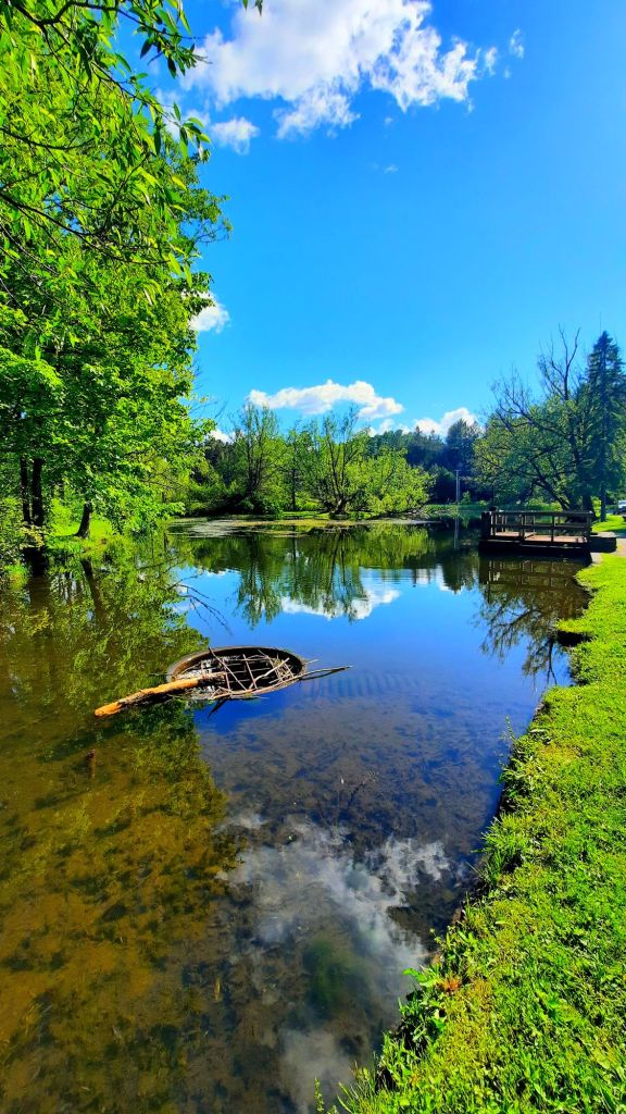
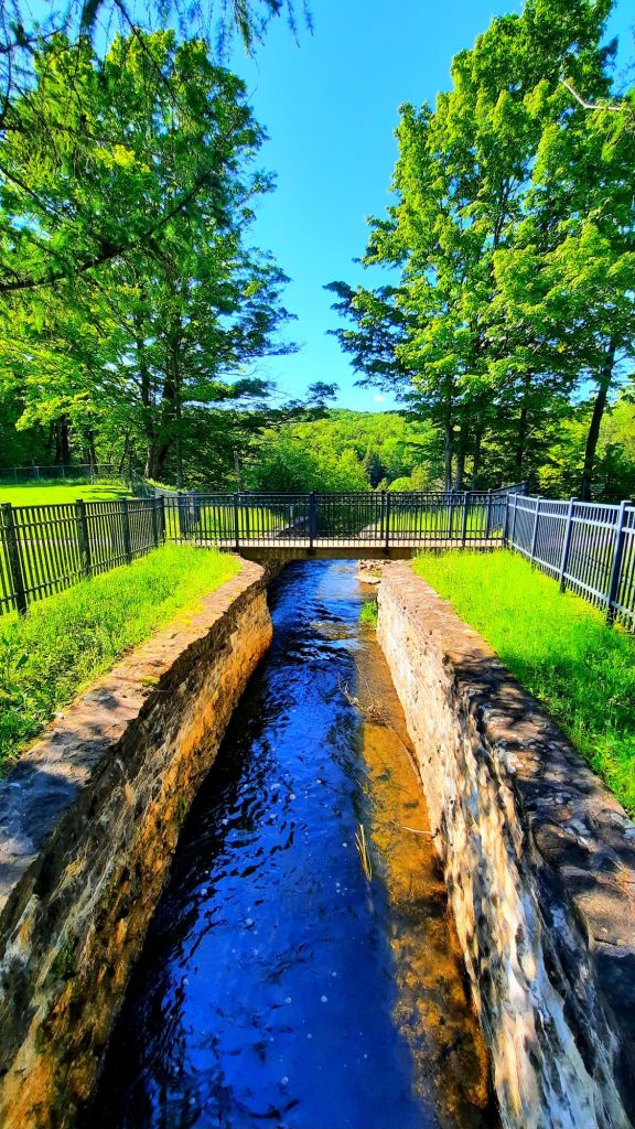
It was simple enough for the SO and I to find, using Google Maps to guide us. Cell service was good. And entering the park, it looked promising– clean, well developed and cared for, ample parking… We were about to get a good hike in and check another waterfall off the must-see list. And we did, but none of it went according to plan.
The very second I stepped out of the car, an insect bit the back of my right ankle. I don’t know what it was, but the bite quickly swelled to over an inch in diameter. WTF! It’s like that thing was sitting there waiting for me. I didn’t even have a chance to arm myself with repellant.
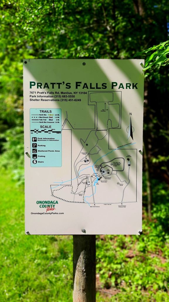
Once we were ready, the SO and I went to check out the nearest park map, which, I had noticed a girl spending an long amount of time studying. That was my sign, and I should have been more aware of that in the moment.
We were about to get lost. More than once.
The first place we walked was to the restrooms. We’d been in the car a little over an hour and we were due.
Then the adventure officially began.
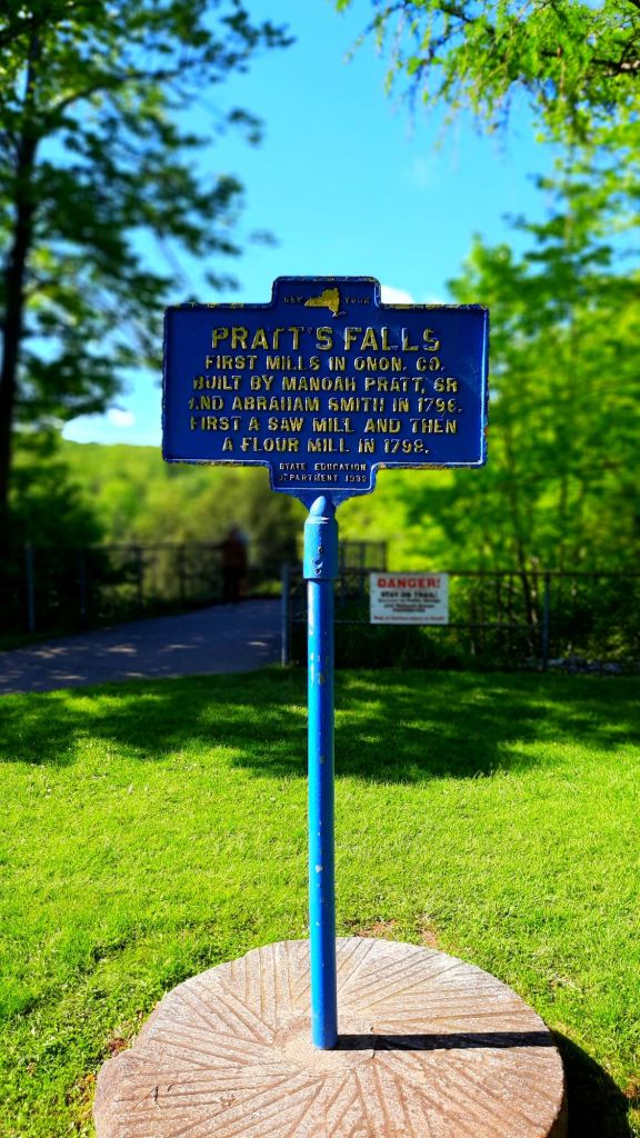
But first, let’s take a look at this waterfall from the top, because I find it super interesting.

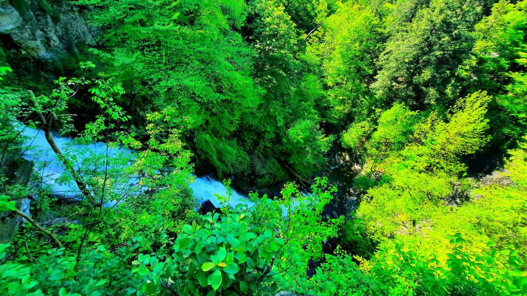
The hike down to the falls was where things started to go awry for us.
Now, if we had simply followed the path as shown in the vlog (above), everything would have been picture-perfect (vlog-perfect? Remember, most of what you see online is curated!).
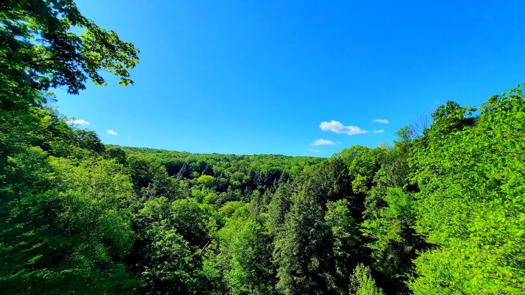
But we were there for a HIKE, and our first attempt at that was the Falls Trail loop we saw on the map (above), which only led us out to another part of the parking lot. (Lots of useless video footage.) And according to AllTrails, the trail doesn’t even exist, so we backtracked and went down to see the falls instead.
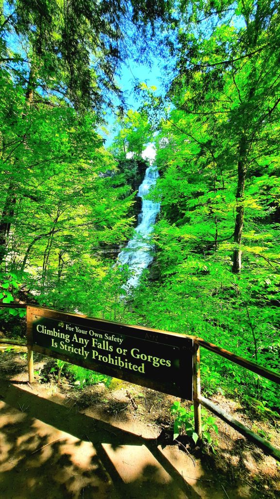

Beautiful, right?
While the vlog ended there, the SO and I were still on a mission to get our steps in once we climbed back up to the top. So we chose the West Branch loop, which starts over by where we parked, AND it’s listed on AllTrails.
Now, I first want to say it’s a beautiful woodland trail. Very few trail markers. And like any forest during the spring, there are lots of hungry insects out and about. (I armed myself immediately after that first bite, so I was prepared for this part at least.) This was still doable to us.
But THE MAP LIES. That same map is registered on AllTrails. So while we were following the actual trail, it was constantly telling us that we were not only doing it wrong, but we were also lost [in addition to the occasional wrong turn]. But we trudged on.
Morale grew lower the more we realized the mess we’d gotten into, and it was now becoming more literal mess than figurative, as the mud grew deeper, and eventually there was no way to escape it. We just had to slosh through. Insult to injury.
At this point, I just opened Google Maps and made sure we kept walking back in the direction of the park. It didn’t have to be right anymore, just that we got back. And we did.
We missed the trail and took the service road back to the parking lot, but whatever. It didn’t matter anymore. LOL
Onondaga County, please update your park map! I’m begging you. It truly is a gorgeous place, but that was a headache we weren’t prepared for.. and I get the feeling we’re not the only ones.
Follow me at:


Leave a comment